
History
Mowsbury Hillfort
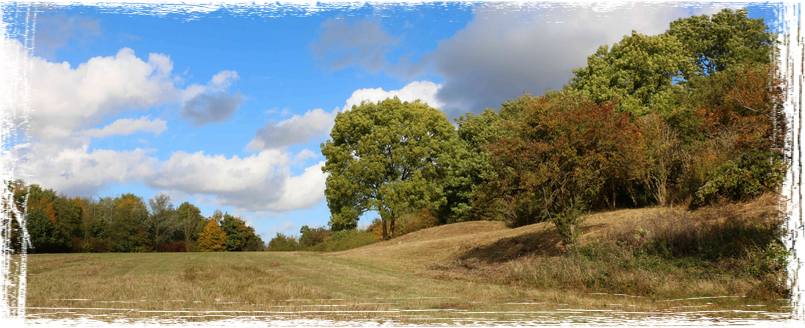
Rising commandingly above the driving range at Mowsbury Golf Course is Mowsbury Hillfort LNR. As its name suggests it contains the remains of a hillfort, one of only 10 univallate hillforts in Bedfordshire, that is a single line of defences, one bank and ditch and the best preserved. Located on the south eastern tip of a long spur of chalky boulder clay to the north of Bedford. Archaeological evidence indicates two major phases of occupation - a univallate hillfort constructed in the early Iron Age, and a medieval moated site adapted from and situated within the earlier ramparts.
Fragments of Iron Age and Romano-British pottery had been reported from the site since the late 19th century and may also possibly be of prehistoric origin.
Archaeological trenching in 1971-1972 confirmed the presence of a single ditch encircling the tip of the spur, and measuring approx 4.3m wide and 2m deep; it had been completely in filled, incorporating material from the internal bank. The bank had been supported by a timber framework which had burnt down, leaving clear impressions of the timbers in the semi-fired clay of the bank; a fragment of human skull was found in association with the destruction. Traces of a possible hut circle were also found in the form of a circle of cobbles. The complete outline of the perimeter forms a roughly oval plan measuring approx 290m by 200m. Pottery fragments show that the hillfort was again occupied in the later Iron Age and into the Roman period, probably as a small farmstead. The next lasting mark made on the landscape is in the medieval period when a rectangular moated site, with two 'islands', an inner and an outer one, was developed. A wooden bridge would have allowed people to cross from the outer to the inner island. Parts of the moat may have reused the ditch of the original hillfort as part of the defensive structure and part was also adapted as a pair of fishponds for raising fish as a food source. The moat was filled with water, fed by a leat stream ( an artificial watercourse or aqueduct dug into the ground). The medieval site has been identified with the manor of Morinsbury mentioned in various documents before 1465. Ralf Morrin was the land owner at the time and "Bury" being an old English word for castle or fortification. The name may have been retained as "Morsebury" a 16th century field name, which included the area of earthworks and presumably devolved to the present name of Mowsbury. Three small brickworks and kilns were active in the area around Cleat Hill in the late 19th century, some excervational workings can be noticed in and around the pond in the golf clubs carpark, so this could explain some of the clay and brick debris found on site. During the 1880's Two rifle ranges, Cleathill and the Old rifle range were located where the golf club is today. The Hillfort is a listed English Heritage ancient monument, nature site and also has been awarded Higher Level Stewardship from Natural England. Mowsbury Hill Meadow is managed as a wild flower meadow.
Find out more about Ralph Morin and his son Sir Ralph Morin who once owned the Manor of Morinsbury HERE
You can download the scheduled 1965 list entry here.
You can download the scheduled 1965 list entry here.